Belize Lodging & Attractions
Our Belize Lodging is Exclusively Available only to our Massage School Students.
SANCTUARY
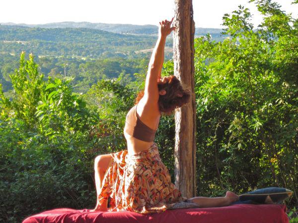
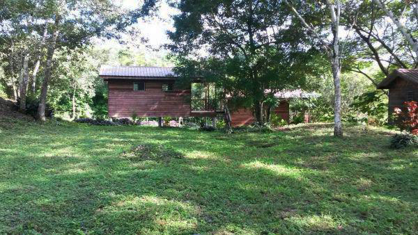
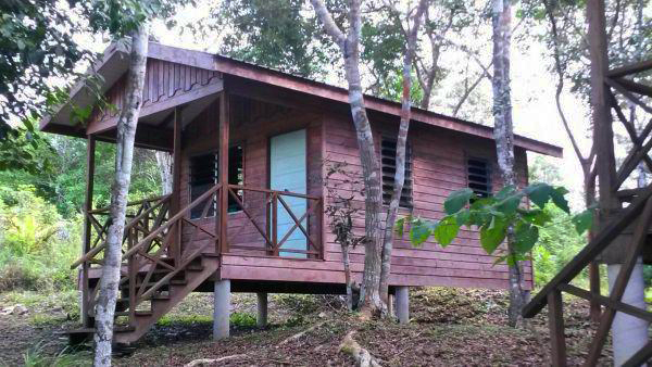
The Vision Exchange lodging is nestled in the heart of Mayan Land and temples steps away from the Mopan River on Medicine Mountain. An intimate haven with 7 cabins resonating with the 7 chakras. Each cabin/chakra comfortably accommodates 2 -4 people. Private lodging can be arranged depending on the specific retreat, class or workshops and availability. Ongoing retreats and Classes in many modalities to enhance, enlighten, empower and light up your juicy spirit! Yoga, Wholefoods, Cleansing, Tantra, Massage Classes and More.
When planning your transformational retreat we recommend booking and planning far in advance as much preparation is required to ensure all your visions and avoid stress. Please schedule a phone consultation to start opening the portal of creation for your retreat!
We are happy to assist you with your retreat activities, meals and transportation upon request although not included in basic retreat rental. Bringing groups to power spots out of their everyday life is one of the greatest gifts you can give for lasting shifts that elevate the whole. The Vision Exchange and Medicine Mountain are exited to be the host for this frequency!
Prices vary depending on number of guests and length of stay. The following is a general guide to retreat rental pricing. Rates are subject to change. Please call to confirm rates. 928-419-2479
Massage School Student prices only
Guest house $700 monthly $200 weekly
Chakra Cabins $500 monthly $150 weekly
25% Deposit of Daily rate due a minimum of 45 days before retreat start date and non-refundable.
Final Balance Due upon arrival.
US dollars
The Vision Exchange can arrange and or link you to all excursions complimentary with local trusting tour guides that can make your experience stress free.
The Maya civilization has permanently marked the landscape, as these top ten Belize Maya Sites show.
This advanced civilization – supported by vast agricultural farmlands and trading centers, held sway for well over 2,000 years. The Maya Empire evolved around 350 B.C. in the tropical lowlands Belize and northern Guatemala and reached its apogee from 250 A.D. to 900 A.D. The arrival of the Spanish conquistadors in the 16th century spelled the beginning of the end of the Maya civilization that had already began a decline with many of its great cities and monuments abandoned perhaps due to war, famine or break down of government structure.
- Xunantunich
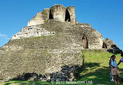
Xunantunich means “maiden of the rock” or “stone woman” in Maya, and is situated on the Western Highway across the river from the village of San Jose Succotz. It can be reached by ferry daily between 8 am and 5 pm. This site is less than one mile from some lovely rapids of the Mopan River and provides an impressive view of the entire river valley. Xunantunich is a Classic Period ceremonial center. The site core occupies only 300 square meters but the periphery covers several square kilometers On the main palace building is an astronomical carved frieze.
El Castillo tops off the peak at Xunantunich.
The highest ruin is 133 feet tall, the second tallest ruin in all of Belize. Well-preserved sun god masks decorate one side of the structure. Six major plazas, more than 25 temples and palaces and a new museum are just some of the reasons why Xunantunich is one of the most visited sites. The Belize Tourism Development Project has invested over half a million dollars to fully excavate the site and make it more visitor-friendly.
Directions
Take the Western highway for approximately 70 miles, until you reach Santa Elena town. Take the road that leads to Succotz village which is just before reaching Benque Viejo del Carmen. At this point you should see a ferry on the right hand side of the road and a sign for the Maya temple. You cross the ferry free of charge and Xunantunich is a three minute drive from there. Check out our full article devoted to Xunantunich Maya Ruin.
- Altun Ha
Altun Ha is located 31 miles north of Belize City on the Old Northern Highway. A two-mile dirt road connects the main road to the site. The area around the Altun Ha is rich in wildlife including armadillos, bats, squirrels, agouti, paca, foxes, raccoons, coati, tyra, tapir and the white-tailed deer. Two hundred species of birds have been recorded and there are large crocodiles that inhabit the Maya-made water reservoir. Altun Ha, a major ceremonial and vital trade center during the Classic Period, has two principal plazas. The most significant find of Altun Ha is the “Jade Head”, which represents the Mayan Sun God, Kinich Ahua; it is the largest object carved of jade in the Maya civilization.
Directions
From Belize City, take the Northern Highway for about ½ hour just after passing Sandhill Village. Take the Old Northern Highway on your right for 14 miles. On your left, take the Rockstone Pond Road towards the reserve for 2 miles.
- Caracol
Caracol Maya Ruin in western Belize.
Located on the western edge of the Maya Mountains within the Chiquibul Forest Reserve, Caracol lies on a high plateau of 500m above sea level that drops into a deep valley to the northwest and rises into hilly terrain to the southwest. The site was discovered in 1938 by Rosa Mai, a logger looking for mahogany. That same year the Archaeological Commissioner, A.H. Anderson, visited the site and named it ‘Caracol’ (Spanish for ‘shell’).
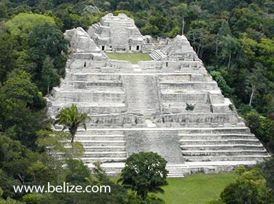
Caracol – Although one of the most challenging Belize ruins to reach, the trip to Caracol is also one of the most scenic drives. It is the largest known Maya center within the country and holds “Canaa” (Sky Place), the largest pyramid or man made structure in Belize at 140 feet tall. A large part of Caracol is largely being discovered, but numerous carved monuments populate the area, and the main reservoir is an engineering masterpiece.
Directions
Caracol is a 2-½ hour drive from San Ignacio town. Take the Cristo Rey Road and drive towards Mountain Pine Ridge until you reach Douglas D’Silva Forest Station. From there drive another 45 minutes until you reach the Caracol Archaeological Reserve.
- Cahal Pech
Cahal Pech is located on an imposing hill that overlooks the twin towns of San Ignacio and Santa Elena. The name of the site means “Place of Ticks” in the Yucatecan Maya language. This name was coined in the 1950′s when the area around the site was used for pasture.
Research in 1988 found ten mounds. Excavations show that Cahal Pech was inhabited from 1000 B.C. to around 800 A.D. The central part of the ruins provides a beautiful panoramic view of the surrounding area. Thirty- four structures, including temple pyramids, two ball courts, an alter and five plain stelae fill the 2 acre area.
The Maya Ruin at Cahal Pech is near San Ignacio Belize.
Directions
Take the Western highway for approximately 70 miles, until you reach Santa Elena town. Take the road that leads to the San Ignacio Hotel, until you reach a “Y” intersection with a stadium on the left. At this point you should see the sign for Cahal Pech Village Resort and Cahal Pech Maya ruins. Proceed up the road, Cahal Pech Archaeological Reserve is on your left.
- Santa Rita
A Mayan ruin in northern Belize that dates from 2000 B.C., Santa Rita is what remains of Chactemal (modern-day Chetumal, Quintana Roo Mexico) an ancient Mayan city that is the genesis of the Mestizo people after the first European contact in the region. Santa Rita controlled trade routes within the boundaries of today’s Mexico and Guatemala. Excavations have revealed fishing net sinkers and other objects, which point to Santa Rita’s coastal importance. Remains of rulers with jade and mica ornamentation, as well as others with gold ear decorations, show that the Mayan city had a commanding role for trade in the Yucatan Peninsula and surrounding areas. Santa Rita is located on the outskirts of Corozal Town and is bordered on the east by the Caribbean Sea.
- Lamanai
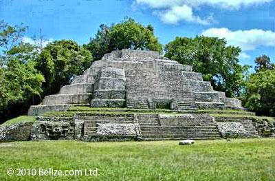
Lamanai is the Maya word for “submerged crocodile.” The site’s name – “Lamanay” or “Lamayna” was recorded by Franciscan missionaries in the seventeenth century. It is one of the only sites retaining its original name and is among one of the largest Maya ceremonial centers. Most folks visit Lamanai by road through San Felipe, Orange Walk, rather than by boat. A “jungle cruise”, the road trip is an excellent chance to see birds, exotic plants and crocodiles. The site itself is even more spectacular; situated on a major trade route, Lamanai is one of the longest occupied Mayan cities and was inhabited for over two millennia. Lamanai has more than 719 mapped structures, including two 16th century Christian churches as well as an intact 19th century sugar mill. Due to the extraordinary length of time that Lamanai was occupied, one can explore several periods of Maya construction techniques, from the Classic Period to the Post Classic. Lamanai was the Maya Temple featured in the 7th episode of ABC’s The Bachelor in February 2012.
The ruins at Lamanai are in the northern Orange Walk district.
Directions
Lamanai is on the banks of the New River Lagoon and the most interesting way to travel to the site is by means of water taxi up the river. The trip by river is also a nature-lover’s heaven for numerous species of water birds live along this rich and diverse waterway. You may even be lucky enough to view iguanas and crocodiles as they sun bathe on the river banks. There are also many species of flora and fauna to be seen at the Lamanai reserve.
Another route to Lamanai is via the all weather dirt road (approximately 28 miles) which runs from Orange Walk through several villages including San Felipe and Shipyard. The site is located in the village of Indian Church.
- Cerro Maya
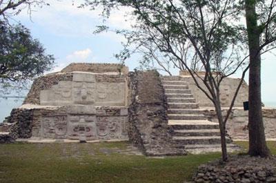
From 400 B.C. to 100 A.D., Cerros, or Cerro Maya, was a pivotal coastal trading center. With a Spanish name that translates to “Maya Hill”, Cerro Maya is located on a peninsula across from the town of Corozal and in the Bay of Chetumal. Archaeologists believe Cerros must not have survived long because of a shift in trade routes. At the height of its day, the city distributed salt from mining communities and traded chert tools. Today, Cerros is partially underwater, but what remains is stunning – including five temples (one that is 72 feet high) and related plazas, a large canal system and a beautiful panoramic viewed from the top of the temples.
Cerros was occupied in the late Preclassic period and underwent several modifications in the Classic period. For much of its history the site was an important trading center probably based on this sea-borne import of jade and obsidian. Its early decline was possibly few to the general shift of trade routes connecting the highlands and lowlands in the early classic.
This Cerro Maya (Maya Hill) archaeological reserve comprises 52 acres and includes 3 large architectural complexes dominating several plazas flanked by pyramidal structures. Tombs and ball courts have been excavated and artifacts found within them attest to the importance of the site between 400 BC and A.D. 100. This site’s proximity to the sea has resulted in the erosion of two large structures. One of these mounds, structure 5C-nd, contains large stucco masks that have now been replicated to the Institute of Archaeology.
Thomas Gann was among the first to recognize the existence of Cerros, but it was not until 1969 that keep their Peter Schmidt and Joseph Palacio visited the site and registered it with the Institute of Archaeology. The land on which the site is located was originally acquired by a Dallas-based company, Metroplex Properties. They subsequently established a nonprofit organization known as the Cerro Maya foundation whose purpose was to excavate the ceremonial center as a tourist attraction. Thankfully the foundation went bankrupt and the large-scale development of the site never materialized. Cerros was eventually surveyed, excavated and partially consolidated from 1973 to 1979 by David Freidel of Southern Methodist University. Freidel focused on the ceremonial center, and on the importance of trade at Cerro Maya. More recently the Belize Institute of Archaeology has conserved the Preclassic masks exposed my Freidel in the 1970s.
The Maya ruin at Cerros is across from the Corozal Bay.
Directions
Cerros can be reached by a short boat ride from Corozal Town. Boats can be hired in town from your hotel guest services. But you can drive to Cerros by road crossing the ferry at the south side of the town and from there passing such picturesque, lagoon side, villages as Chunox, Progresso and Copper Bank. This site is located within an area of extensive wetlands, therefore, it is advisable to use insect repellent and, if possible, long sleeve shirts and trousers
- Barton Creek Cave
Barton Creek is one of the most popular tourist destinations in the Cayo District. In addition to its natural beauty, the site contains a wide range of cultural remains that were left within the cave as offerings by the ancient Maya. Artifacts, hearths, modified cave formations, and human remains were deposited on ledges above the river indicating that the cave was of great ritual importance to the ancient settlers of the region.
Directions
Barton Creek is an hour’s drive from San Ignacio Town. Take the Georgville exit and drive about 10 minutes or approximately 3 miles to the Cool Shade exit. Drive another 35 minutes until you reach the Barton Creek Orthodox Mennonite Community. The site is located just outside the village
- Nim Li Punit
The name Nim Li Punit is derived from a carving on one of the site’s twenty six stelae, which depicts a figure wearing a large headdress. In the Maya Kekchi language, Nim li Punit means “the big hat.” The monument on which this carving appears is the longest stela in Belize (Stela 14), originally located in an area called Plaza of the Stelae. These ruins over look the Toledo coastal plain, milpas and rain forest. Having only one main plaza, one pyramid, one ball court and a few moderately sized buildings, Nim Li Punit fall is smaller compared to masterpieces found in other areas. But it has a large number of stelae; twenty-five large, often huge, stone slabs and pillars, eight of them carved, populate this small area. In fact, one of the stela is the tallest carved example in Belize. Due to this curiosity, Nim Li Punit is believed to have served as its dynasty’s worshiping place.
Directions
From the City Of Belmopan, take the Hummingbird Highway for 45 miles until you reach the Southern Highway Exit. Turn right onto the Southern Highway and travel an additional 50 miles (about 1 ½ hours) until you reach Indian Creek Village. Exit to the right on the gravel road and continue for about half a mile until you reach the reserve.
- Lubaantun
The Maya ruin at Lubaantun in the southern Toledo District.
“Place of the Fallen Stones”. This Late Classic ceremonial center is noted for its unusual style of construction distinctive of southern Belize. The large pyramids and residences are made of dressed stone blocks with no mortar binding them together. The buildings on top of the pyramids were made from perishable materials rather than masonry and hence do not remain. The name is Maya for “Place of Fallen Stones. Lubaantun is located north of the Colombia River, one mile past the village of San Pedro Colombia, in the Toledo District.
Directions
Lubaantun is north of the Colombia River, one mile past the village of San Pedro Colombia, Toledo District and is accessible by public transportation. From the City Of Belmopan, take the Hummingbird Highway for 45 miles to the junction of the Southern Highway Exit. Turn right unto the Southern Highway and travel an additional 70 miles (2 hours) until you reach the Silver Creek cut off. Travel through the villages of San Miguel and San Pedro Columbia. Exit right on the all weather gravel road and continue for about 1 1/2 miles until you reach the reserve.
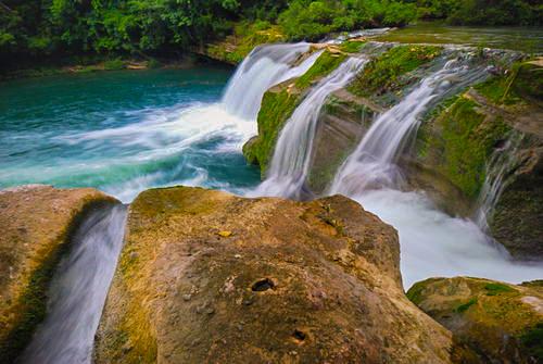
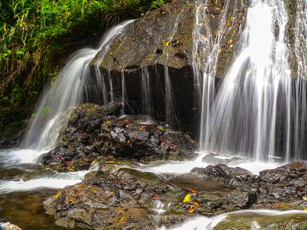
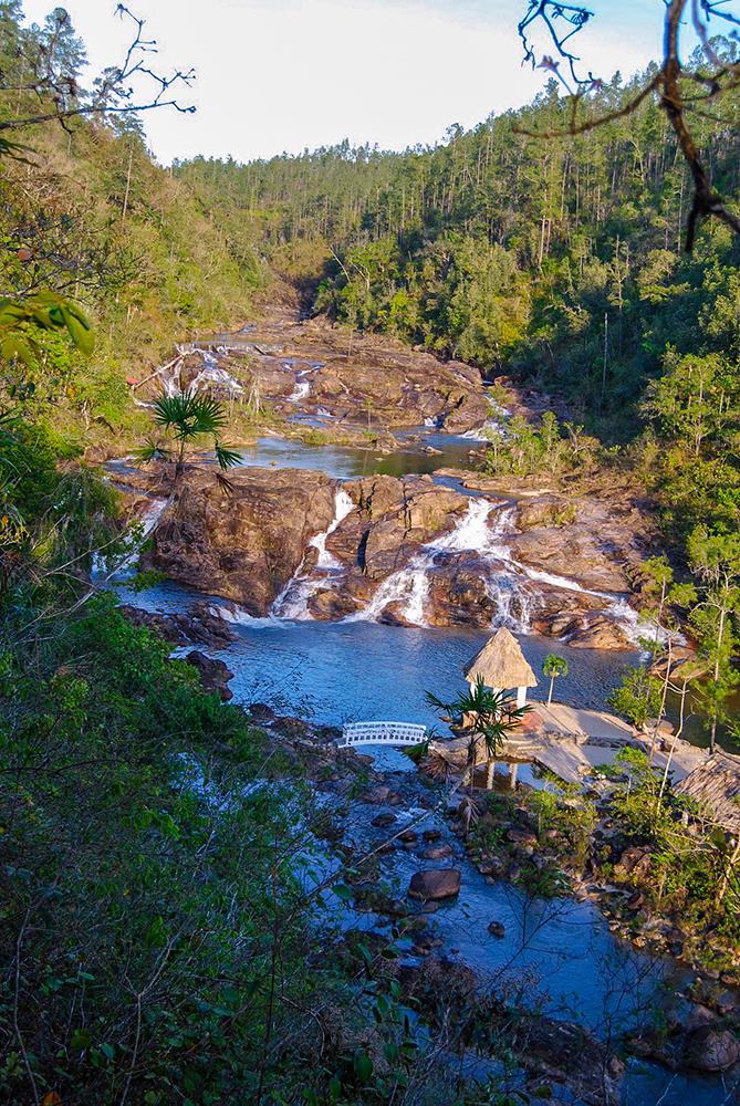
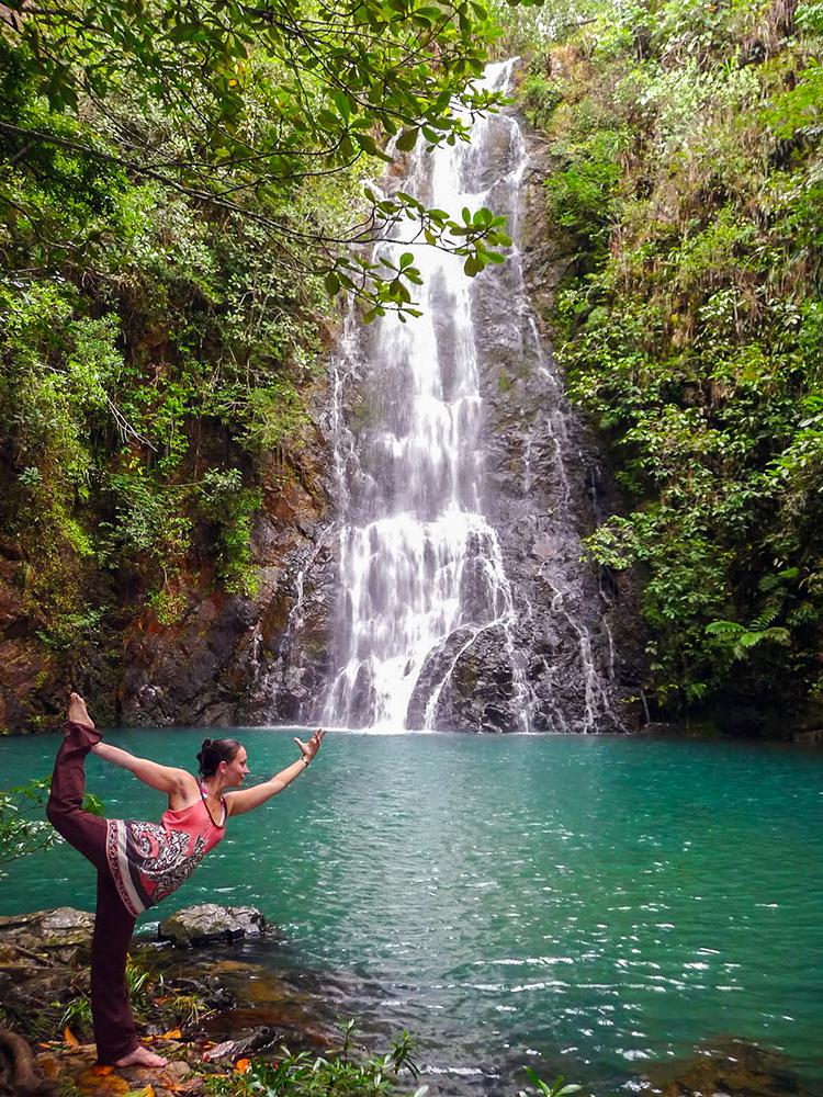
Waterfalls in Belize are among the consummate hang out places for spending an impeccable Belize vacation. The pristine beauty and the tranquil atmosphere in the area of waterfalls are a special treat to the eyes. Below are 7 unbelievable waterfalls from around Belize:
Big Rock Waterfalls
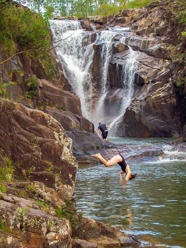
Big Rock Falls is a gorgeous 150 foot waterfall on the Privassion River in the Mountain Pine Ridge Forest Reserve in the Cayo District. It can be accessed through a trail about 300 yards long down a 130′ deep gorge and is an ideal location for swimming or sun tanning.
The tremendous view of water rushing over the huge 150-ft rock formations and plummeting into the deep perfectly round pool at its base provides a rush of excitement.
A visit to this magnificent spot is one of the highlights of any trip to the mountain Pine Ridge area.
Butterfly Falls
Nestled in 7,200 acres of a private forest reserve, the Butterfly Falls is one of the many tucked away cascades and falls on top of Pine Ridge in the Cayo District of Belize.The Butterfly Falls offers a unique opportunity of luxuriating in ultimate privacy and exclusivity and is accessible only to Hidden Valley guests.
Five Sister Falls
This waterfall got its name because the water forms 5 separate streams as it rolls over the rocks and boulders, hence the name Five Sisters and is excellent for a cool and refreshing swim.
Accessed through Gaia River Lodge (formerly known as Five Sisters Lodge), this waterfalls can be reached by descending a steep flight of steps or by riding the hydro-powered tram paralleling the mountainside.
Popular with locals and foreigners alike, Gaia River Lodge provides an ideal location for picnicking and invigorating swims packaged in a spectacular natural setting. Guests as well as non-guests of the lodge can access Five Sisters Falls.
Thousand-Foot Falls
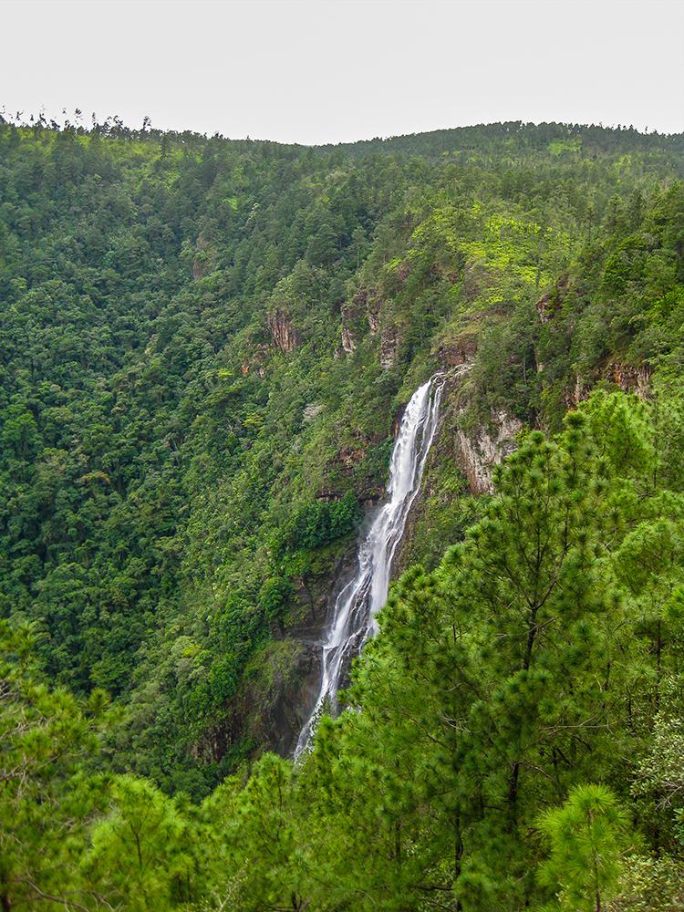
Occasionally referred to as “Hidden Valley Falls,” this torrent of Roaring Creek is probably a good deal taller than a thousand feet and is considered the highest waterfall in all of Central America. The turnoff to a viewpoint of the falls is a couple of miles beyond the forest reserve gate and is well signed.
It’s quite a little drive to get all the way there, and though the view is magical, you don’t get the reward of being able to jump in. From the turnoff, the road continues down for about four miles and brings you to the falls and a picnic area.
View the falls from across the gorge and through breaks in the mist. A small store and picnic tables can be found at the viewpoint (7 a.m.–5 p.m. daily).
The Mayflower Bocawina National Park
The Mayflower Bocawina National Park was declared a national park in 2001 and has three minor Maya ceremonial sites: Mayflower, T’au Witz, and Maintzunum, near Silk Grass Creek. Nearby are the three waterfalls Bocawina Falls, Three Sisters Falls, and Antelope Falls. Access to Mayflower is easiest from Hopkins, about 20 minutes by car. However, tours are offered from Placencia and Dangriga as well as from Hopkins. The entrance to the park is about 4 1/2 mi (7 1/2 km) off the Southern Highway.
From the visitor center, to get to Bocawina and Three Sisters Falls, which are close together, it’s an easy hike of about 1¼ mi (2 km) on the marked Bocawina Falls trail. The trail to Antelope Falls, about 1¾ mi (3 km), is somewhat more difficult due to some steep sections that can be slick after rains.
Maps of the trails are available at the small visitor center. So far, little excavation has been conducted at the Mayan sites, but the parklike setting at the base of the Maya Mountains is beautiful.
Rio Blanco Falls
Established in 1994 and managed by the Rio Blanco Maya Association, the park covers 500 acres and is located approximately 30 miles traveling northwest from Punta Gorda Town.
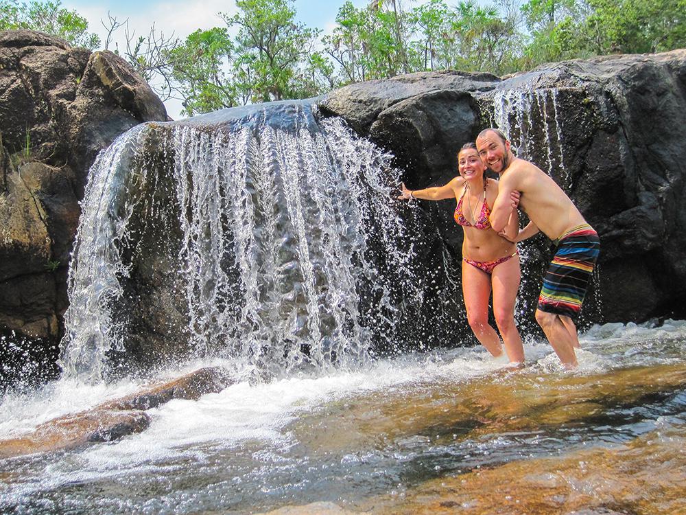
The main attraction here are the cascading falls of the Rio Blanco which flow through wide, shallow pools and over smooth slabs of mudstone and sandstone, before pouring over a 15 foot ledge into a deep pool.
Surrounding limestone boulders allow easy exploration above the pool. Further upstream, a small waterfall and wading pool feed the main waterfall. Trees and flowering vegetation encircle the shady cliffs while Blue Morpho butterflies flutter amongst the surrounding trees. A smooth stone ledge at the end of the trail from the parking lot, covered with a layer of scattered snail shells, rises steeply about 20 feet above the pool.
Rio on Pools
Just off the main road in the Mountain Pine Ridge Reserve, before reaching Augustine Village, lies the picnic shed and parking area of the popular Rio On Pools. The soothing sounds of cascading water are heard as visitors approach the picnic site. The scene revealed from the riverbank high above is absolutely breathtaking ~ Wide open expanse of pine forest, small waterfalls making their journey over large granite rocks, spilling into cool round pools all connected by natural waterslides as the river makes its way downstream ~ truly a view never to be forgotten.
A short hike down to the river transports visitors to a swimming pool wonderland. Whether your desire it to sit under a waterfall, slide over the smooth granite boulders, swim in your very own selection of pools or simply bask in the awesome natural beauty around you, Rio On Pools is sure to provide a relaxing and enjoyable experience.
CAVES AND THE MAYA
Caves are inextricably bound up with the history of Belize, having been fundamental to the religion of the Maya. Vapor clouds forming at the mouth of caves suggested to the Maya that these were the places where wind and clouds were born. Here dwelled the gods of nature and caves were the portal between the tangible human world and the invisible world of gods – a place called Xibalba. It was here at the mouth of caves as well as deep within the recesses that the Maya performed their most sacred rituals.
Few caves do not have some visible sign of their past visitation and evidence of their activities can often be found for substantial distances inside these caves. Relics, principally in the form of shards of pottery, are very common.
In deference to their achievement it has now become standard practice among modern caver’s in Belize to name newly discovered caves from the Maya language. “Ac-tun” or hollow-stone is the Maya word for cave.
Cayo Area Caves
Actun Tunichil Muknal – Cayo’s newest jungle cave attraction. Discovered in 1989, today this water cave boasts a large and diverse collection of preserved Maya artifacts. Good physical fitness is required to visit this one.
Caves Branch – Guided cave tubing – Float in rubber tubes deep within the Caves Branch River system.
Black Hole Drop – A Rush like no other! Stretch your comfort zone as you rappel down into a jungle sink hole deep in the rainforest.
Chechem Hah Cave – Near the Guatemalan border this cave is impressive for it’s mother lode of huge intact Maya storage jars
called “ollas”.
Barton Creek Cave – Canoeing is the way to experience this cave. Featuring natural bridges, skeletal remains and Maya artifacts.
Rio Frio Cave – With the largest cave opening in Belize, this cave is located in the Mountain Pine Ridge. It has its own parking lot and steps for easy walking.
St. Herman’s Cave – Part of Blue Hole National Park. This cave is easy to hike to and explore on your own.
Flour Camp Cave – A dry cave located on the Upper Macal River. You can visit this cave by hiking (2-3 hours) or on horseback (2 hours riding + 40 minutes hiking) or after a short drive, plus a 40 minute hike, from duPlooy’s Jungle Lodge.
DESTINATION OVERVIEW
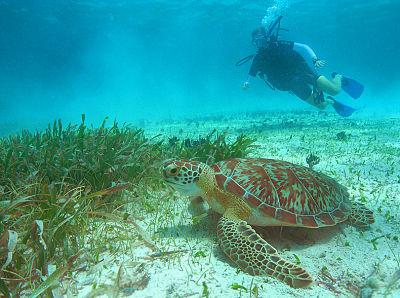
As the saying goes, big things sometimes come in small packages. With Belize—the second smallest and least populated nation in Central America—this couldn’t be any more true as it packs a hemisphere’s worth of adventure within its borders. Divers obviously come for the prime oceanfront real estate along the second longest barrier reef in the world, but there’s so much more to see and do here. That means it’s an ideal holiday location for nondiving family or significant others. If your idea of rest and relaxation includes beaches, rainforests, hiking, mountains, cave tubing, wildlife and touring Mayan ruins, you’re in luck. Book your ticket for Belize now.
HOT DIVE SITES
Ambergris Caye
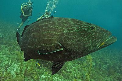
Just offshore from the quaint village of San Pedro is Hol Chan Marine Reserve, one of the coolest dives in Belize. It’s a strictly enforced marine park situated at a deep cut in Belize’s barrier reef. The park enforcement has paid off in spades with abundant marine life, healthy corals and throngs of grouper, snapper, barracuda and jacks. At Shark Ray Alley, you’ll leave dive gear behind and snorkel with—you guessed it—nurse sharks and stingrays.
Find a PADI Dive Center or Resort near Ambergris Caye
The Blue Hole
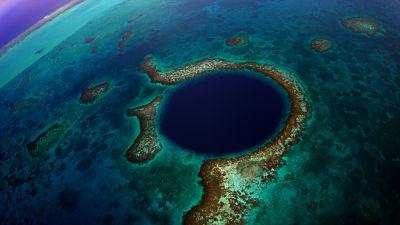
If you call yourself a diver, you’ve undoubtedly heard the hype and seen the aerial shots of Belize’s signature dive. And, truth be told, it’s definitely one of those dive-before-you-die sites. At more than 300 metres/1000 feet across and 135 metres/450 feet deep, this spectacular hole-in-the-reef dive is a day-trip away from most of Belize’s dive resorts. Take the trip and you’ll be rewarded with a payoff that includes reef and bull sharks and fascinating stalactite and stalagmite formations.
Find a PADI Dive Center or Resort near the Blue Hole
The Atolls
Outside of Belize’s barrier reef, the water gets clearer and you’ll find three of the Western Hemisphere’s four true coral atolls. At Turneffe, the largest and northernmost atoll, a dive site called The Elbow has a remote, pristine Pacific-esque quality to it where you can expect big animal action and stunning reefs. Glover’s is the most remote—and least visited—but has more than 80 kilometres/50 miles of fringing reef.
Find a PADI Dive Center or Resort near the Atolls
Stann Creek District and the South
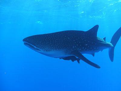
South of Belize City and north of Guatemala, the Stann Creek District is where the coast starts curving away from the barrier reef. Here, quiet dive resorts are the jumping-off points for Belize’s southern barrier reef or day trips to the atolls. This is also ground zero for whale shark encounters at sites off Gladden Spit and the Silk Cayes.
Find a PADI Dive Center or Resort near the Stan Creek District
DIVE SUMMARY
Depth: Because Belize houses the second largest reef in the world, you’ll find a wide range of depths. From shallow coral gardens and animal encounters to deep walls dripping with life, the choice is yours. Take your pick.
Visibility: Off the barrier reef and atolls, visibility is often 30 metres/100 feet or more. It might be a touch less inside the reef.
Currents: As with many dive destinations, currents here are variable. They range from calm at some of the tranquil caye sites to ripping at Hol Chan.
Water Temperature: Plan on a bathtub-warm 30° C/85° F in summer and a “low” of about 26° C/79° F in winter.
Dive Season: Year-round. Whale sharks sightings are virtually guaranteed from April to June along the southern barrier reef.
Weather: The subtropical weather in Belize means it is warm year-round, particularly along the coast. A brisk prevailing wind from the Caribbean tempers the summer heat a bit. Air temperatures in summer range from about 24-29° C/75-85° F. Winter is cooler, with a daily low of about 21° C/70° F and a daily high of about 27° C/80° F.
Access: You’ll more than likely fly into Philip S. W. Goldson International Airport outside of Belize City, then take a small aircraft (usually 8-12 seats) from the city’s municipal airport to your final destination. Keep in mind that you’ll likely have strict weight and/or baggage requirements on the smaller aircraft so check with your airline or travel professional. Some resorts also offer land transfers.
Skill Level: Dive newbies and veterans alike will find something to love about Belize.
Scuba Gear: It’s always nice to bring your own gear, but Belize has a mature, developed dive industry, so many dive resorts and live-aboards hire gear.
Length of Stay: Many divers opt for a one-week package at a dive resort or live-aboard, but to get a true feel for the variety of available diving, you’ll want to stay longer.
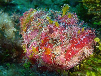
Featured Creatures: You’ll find the usual Caribbean suspects here, but in seemingly greater numbers. Expect sharks, big schools of fish and whale sharks in the right season.
The Belize Zoo is 31 miles west of Belize City and sits on 84 acres and houses more than 100 animals indigenous to Belize, many endangered. Unlike most zoos in the world, the animals at the Belize Zoo are not kept in cages or surrounded by bars or barred concrete bunkers but rather housed in large vegetated enclosures of mesh and wood.
The zoo first opened in 1983 when 17 animals were left from the filming of a natural history documentary. On December 7, 1991, the new zoo opened featuring many more animals in new spacious natural exhibits.
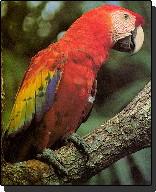
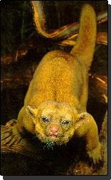
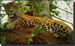
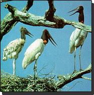
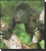
Animals currently on exhibit at the zoo are vultures, deer, tapirs, spider monkeys, keel-billed toucans, speckled owl, ocelot, white lipped peccary, puma, collared peccary, howler monkey (baboon), tayra, agouti, paca, jaguars, margay, snakes, Jabiru stork, aviary, crocodiles, kinkajou, jaguarundi, gray foxes, curassow, parrots, barn owls, coatimundi, raccoon, hawks, collared aracari, falcon, eagle, crested guan, and the scarlet macaw.
Language: Belize is the only Central American country with English as the official language. There are enclaves, however, where Spanish, Maya, Garifuna and creole are spoken.
Currency: The Belize dollar (BZD) is tied to the US dollar, where one US dollar is equal to two Belize dollars.
Transportation: This small country has a highway system that connects the main towns, but small aircraft flights are the easiest and quickest way to get around.
Major Airports: Most tourists enter the country through Philip S. W. Goldson International Airport (BZE), Belize’s primary international air gateway. Many then transfer to Belize City Municipal Airport (TZA) to catch a domestic flight.
Religion: Nearly 80 percent of the population is Christian, but there is a wide variety of other religions, including Hindus, Baha’is, Buddhists, Jehovah’s Witnesses, Muslims, Rastafarians and Mennonites.
Electricity: Most electricity in Belize runs at 110 volts/60Hz and uses the same plug type (Type A and Type B) as the United States. Belize also has some 220 volt electricity that uses a three-pronged plug (Type G) common to the United Kingdom.
Airport Entry/Exit Fees: Belize levies a departure tax ranging from $3.75 to $39.25 that varies based on how you are leaving the country. The fee is sometimes included in the airfare.
Follow
Home Services About Contact Privacy Terms

